Bike tours
Tour of the Val d'Orcia
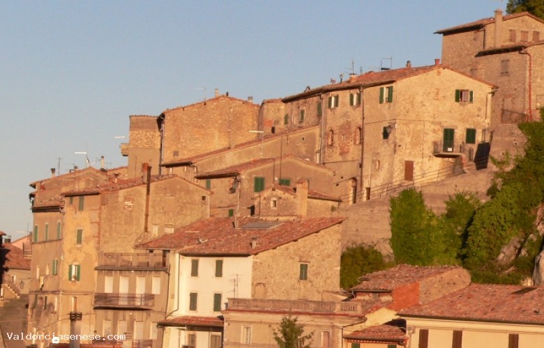
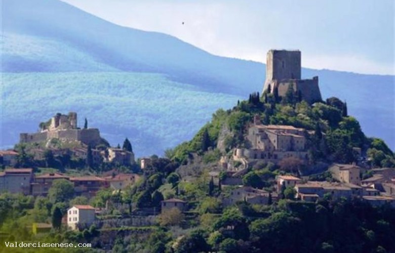
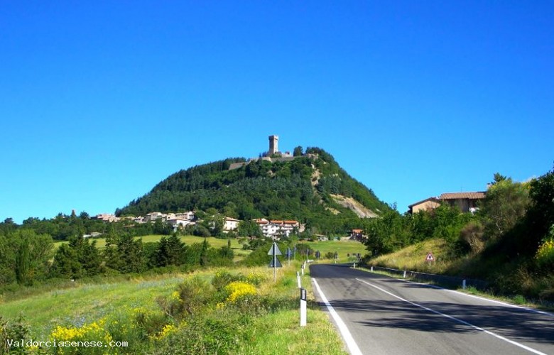
CASTIGLIONE D'ORCIA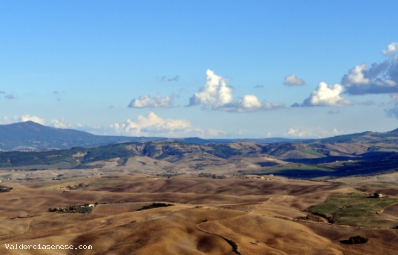
Dettagli
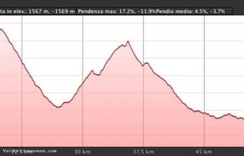
Lunghezza del percorso: 70,7 kmTipologia del fondo: Misto Asfalto/sterrato
Difficoltà: Alta
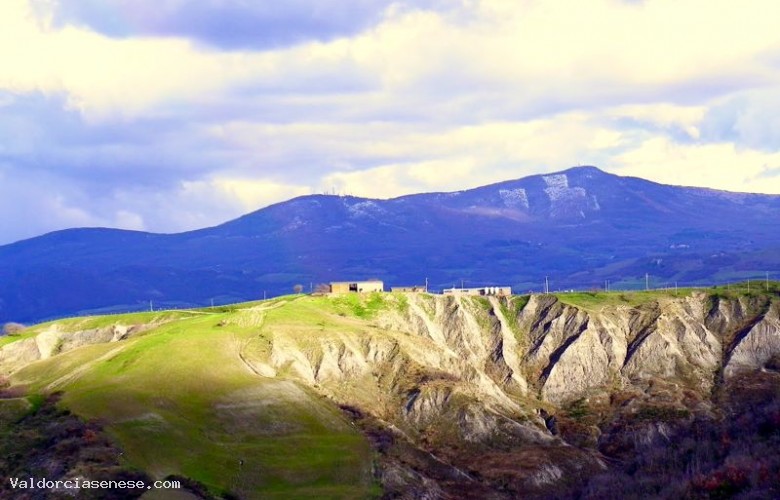
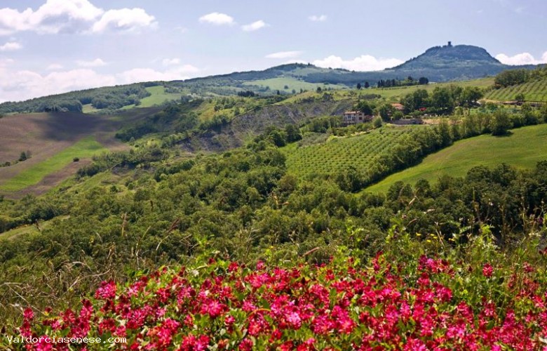
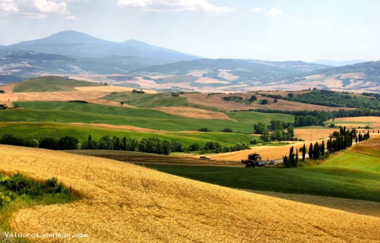
Starting from Castion D'Orcia to Bagno Vignoni go down and then continue for a short stretch of Cassia before turning right at the first junction towards Spedaletto up the river Orcia. After passing two intersections in loc. The victory by pulling straight to the next turn right instead, to come up to Contignano. After the small village, we continue towards Radicofaniper then turn left towards the valley floor and back onto the road which connects to the SS 478 and from here we turn right towards Radicofani, situated in a spectacular panoramic view of the Val d'Orcia, Monte Amiata and Cetona. From Radicofani continue down to the SS 2 where we left Bagni San Filippo. From this moment begins the climb at a time of Campiglia d'Orcia, past the village of Zechariah. Then we enter on a very scenic road in the direction of Castiglione d'Orcia to return to the starting point.Starting from Castion D'Orcia to Bagno Vignoni go down and then continue for a short stretch of Cassia before turning right at the first junction towards Spedaletto up the river Orcia. After passing two intersections in loc. The victory by pulling straight to the next turn right instead, to come up to Contignano. After the small village, we continue towards Radicofaniper then turn left towards the valley floor and back onto the road which connects to the SS 478 and from here we turn right towards Radicofani, situated in a spectacular panoramic view of the Val d'Orcia, Monte Amiata and Cetona. From Radicofani continue down to the SS 2 where we left Bagni San Filippo. From this moment begins the climb at a time of Campiglia d'Orcia, past the village of Zechariah. Then we enter on a very scenic road in the direction of Castiglione d'Orcia to return to the starting point.